The satellite photo of the lot is two summers old. It shows a row of stalls the owner restriped in a new layout last fall, a planter island that's since been paved over, and a shadow from the building right across the worst of the cracking. You can price from it. You'll be pricing a lot that isn't there anymore.
A drone fixes that, if you fly it for a takeoff and not for a video. Flown right, a drone map shows the lot as it is this week, sharp enough to see the crack pattern and accurate enough to measure. Flown wrong, it's a nice picture with edges a few feet off, and a few feet on every side of a big lot is square feet you either give away or lose the job over.
Fly a grid, not a video
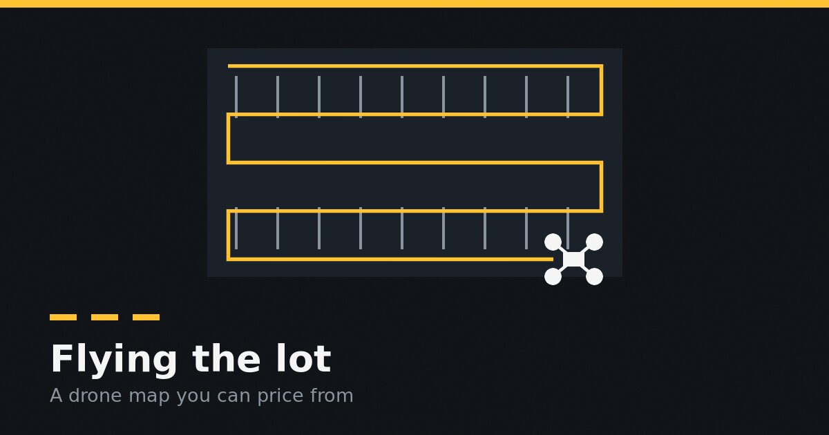
A map you can measure on comes from a mapping flight. In your flight app, draw the area and let the drone fly a grid over it, taking photos straight down. Most apps call that a nadir camera, or 90 degrees. Your mapping software stitches those photos into one flat map of the lot, called an orthomosaic.
Video and orbit shots are for showing the customer. They don't stitch into anything you can measure.
Overlap is what makes it stitch
Each photo has to share a lot of ground with the next one and with the row beside it. Aim for about 70 to 80% front overlap and 60 to 70% side overlap. Less than that and the software leaves holes, bends straight curb lines and smears the paint. More takes longer to fly and process, and doesn't buy you much.
Height sets the sharpness
The number that matters is ground resolution: how much of the lot one pixel covers. For paving, sealcoating, striping and concrete, about half an inch to an inch a pixel is plenty to see cracks, stall lines and the edge of the mat. On most mapping drones that's somewhere around 150 to 300 feet up. Your flight app shows the resolution for your camera as you change the height, so set the resolution and let it work out the height, then make sure that height is under 400 feet.
Go past the property line by 30 to 50 feet. The street edge, the neighbor's curb and the sidewalk are what you'll line the map up against later.
Light, cars and timing
- Fly in even light. Overcast is best, the middle of the day is next. Long morning and evening shadows hide the curb line and the cracks on the shady side of every building.
- Get the cars out. A parked car hides the striping and the cracks under it, and a lot full of cars is a lot you'll guess at. Fly early on a weekend, or ask the property manager to cone off a section for twenty minutes.
- Fly it dry. Puddles and wet patches look like patches on the map.
Ground control, or at least a tape
A drone map is as accurate as its ground control. Ground control points are targets you set on the lot and measure in, and the software uses them to pin the map to the real world. If you fly lots regularly, they're worth learning.
If you don't have them, tape one long straight edge on site, like a curb run or a row of stalls, and write the length down. When the map is built, measure the same edge on it. Within a few inches over a long run, price from it. Off by a foot or more, something's wrong: fly it again with more overlap or with ground control before that map prices a proposal.
The rules are yours
Flying a drone for your business in the US generally means holding a Part 107 remote pilot certificate, staying under 400 feet above the ground and following FAA airspace rules. Some lots sit near airports or in places where you need permission before you fly. Your state, your city and the property owner can have rules of their own. Check before you fly, every lot.
Questions contractors ask
Do I need an expensive drone?
No. A mapping flight needs a camera that points straight down and an app that flies a grid. Plenty of mid-range drones do both. What matters more is flying it the same careful way every time.
Can I just use the 3D model?
For a takeoff, use the flat orthomosaic. A 3D model is good for showing a customer a grade problem, but the lines you price from belong on the flat map.
Does a drone map replace walking the lot?
No. It shows the surface, and the surface is most of what you price on a sealcoat or a restripe. Base failure still doesn't show from the air. Walk the ones you're not sure about, and walk them with a plan.
Where Pavr fits
Pavr is job management software for paving, sealcoating, striping and concrete contractors. Pavr doesn't fly the drone or build the map. Upload the map from DroneDeploy, Pix4D Cloud, WebODM, Propeller or DJI Terra to the job's site map, on the lot or back at the office. A GeoTIFF places itself; check one edge with a tape, and draw on the lot as it is this week. The square feet you draw are the square feet on the proposal. See how measuring the lot works.
Was this useful?
It tells us what to write more of.