What you can draw
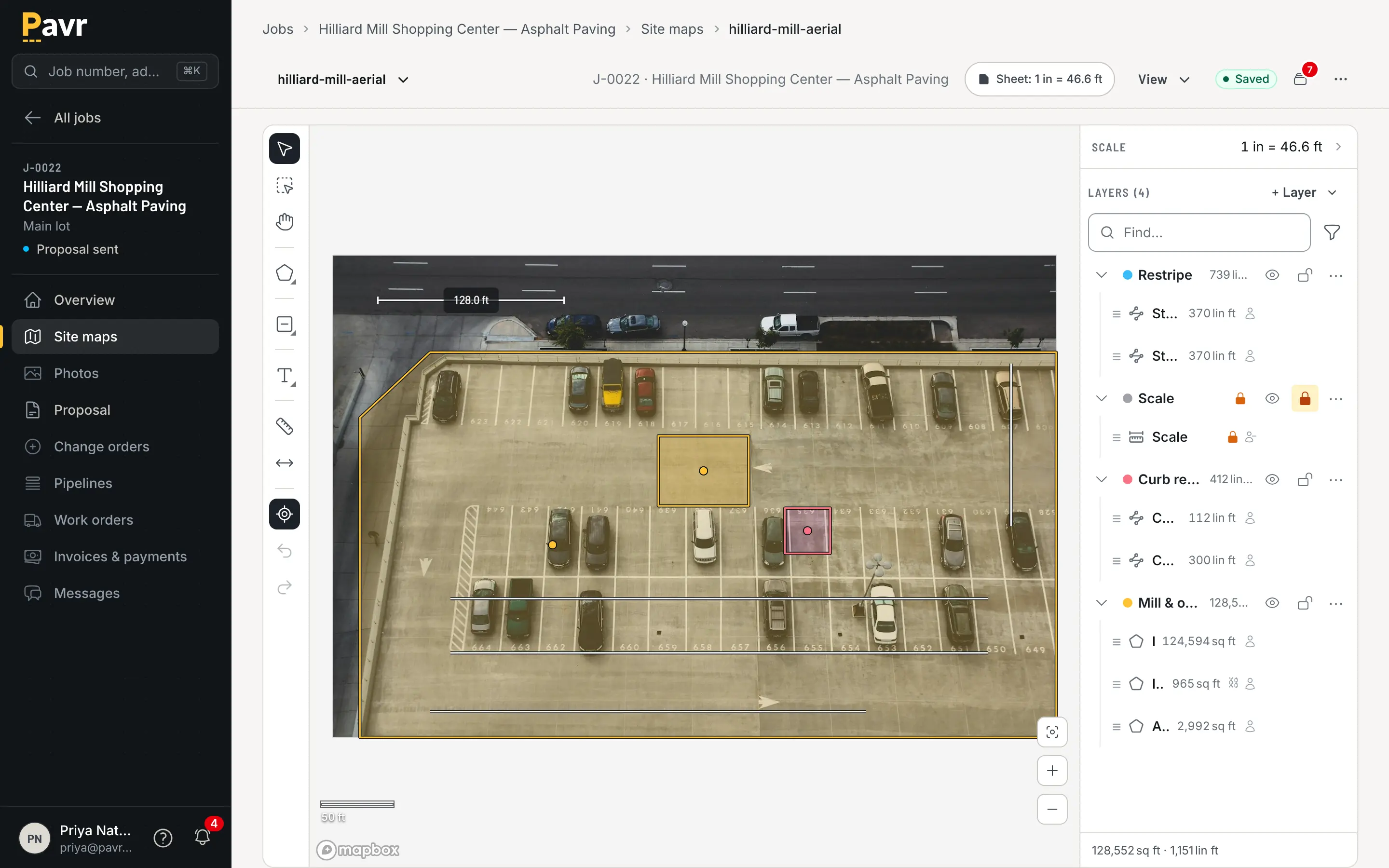
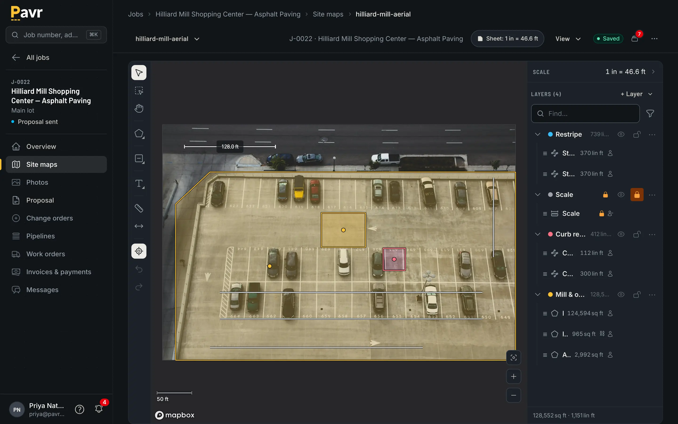
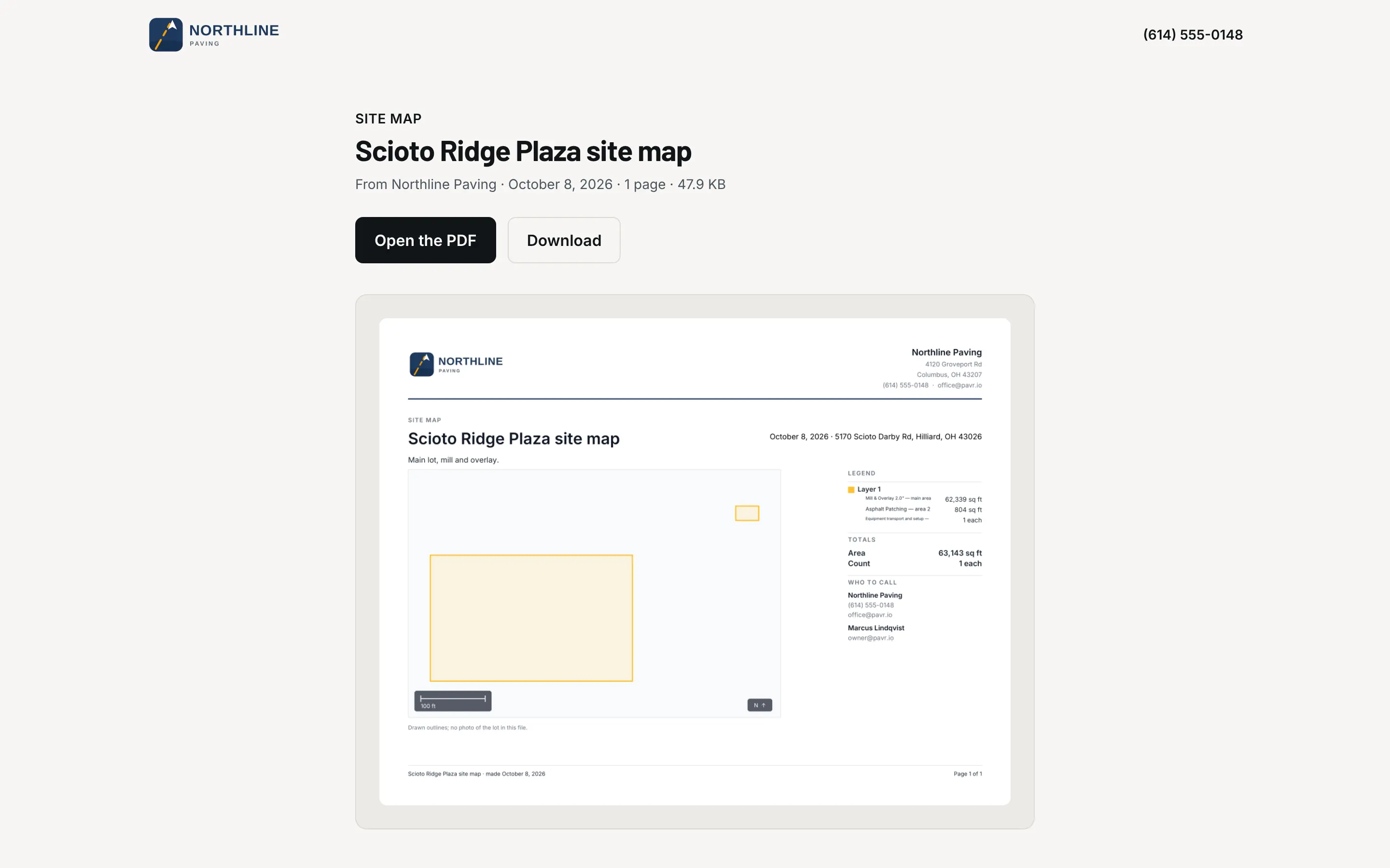
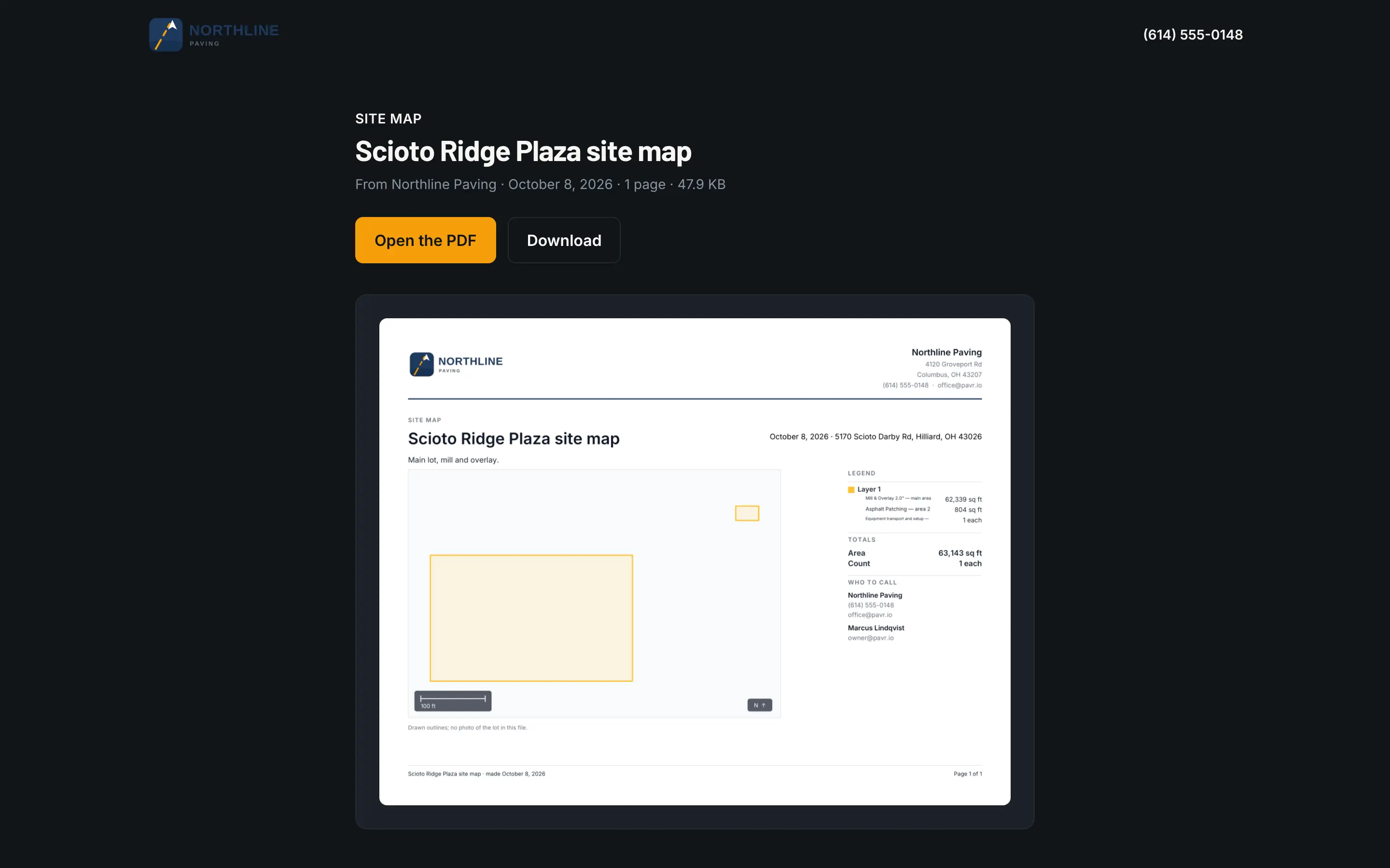
Areas, for the mat, the sealcoat and the concrete flatwork, in square feet. Paths, for curb and gutter, crack fill and saw cuts, in linear feet. Counts, for stalls, bollards and catch basins. Draw as many shapes as the lot has: the drive lanes at one depth, the loading dock at another. Cut the islands out of the area around them with the Cutout tool, and type a length when you know it instead of dragging by eye.
Each shape is a layer you can name, hide, reorder and group, and it carries its quantity onto the line you price from it. Change the shape and the line changes with it.
One map, the whole job
A job can have several site maps, each for its own part of the work, and one switch so an area drawn on two maps counts once. The price reads off the shapes. A proposal you've sent keeps the numbers it went out with. Extra work gets its own layer on the same map, so the change order shows what's new against what was signed.
From the satellite view
Pull up the address and draw. It's the same imagery you'd check before a walk, and it's good enough to price most lots from the office the night the call comes in. It isn't good enough to see what's under the mat. Base failure doesn't show from orbit, so walk the ones you're not sure about, and type in what the wheel says.
From the GC's plan
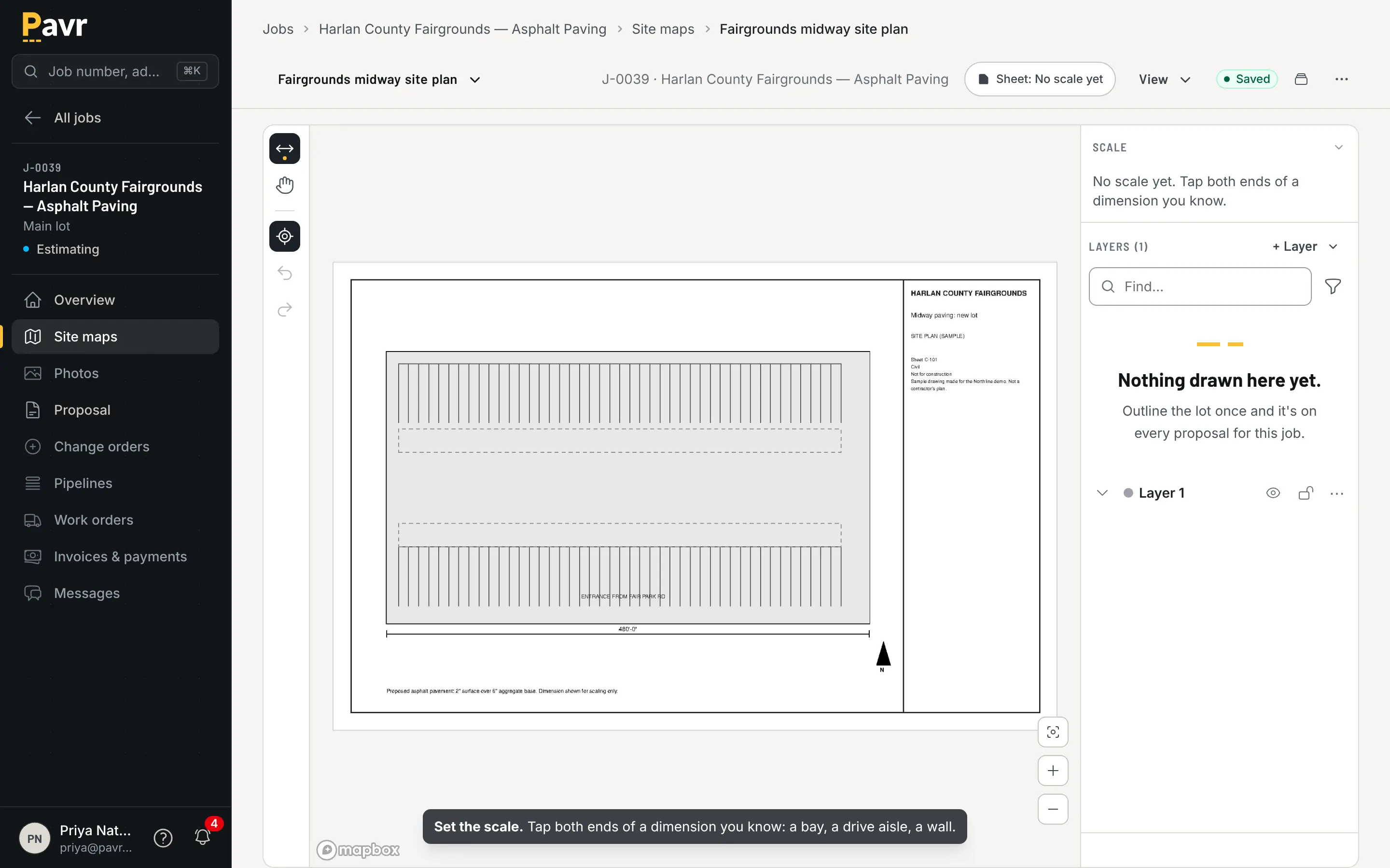
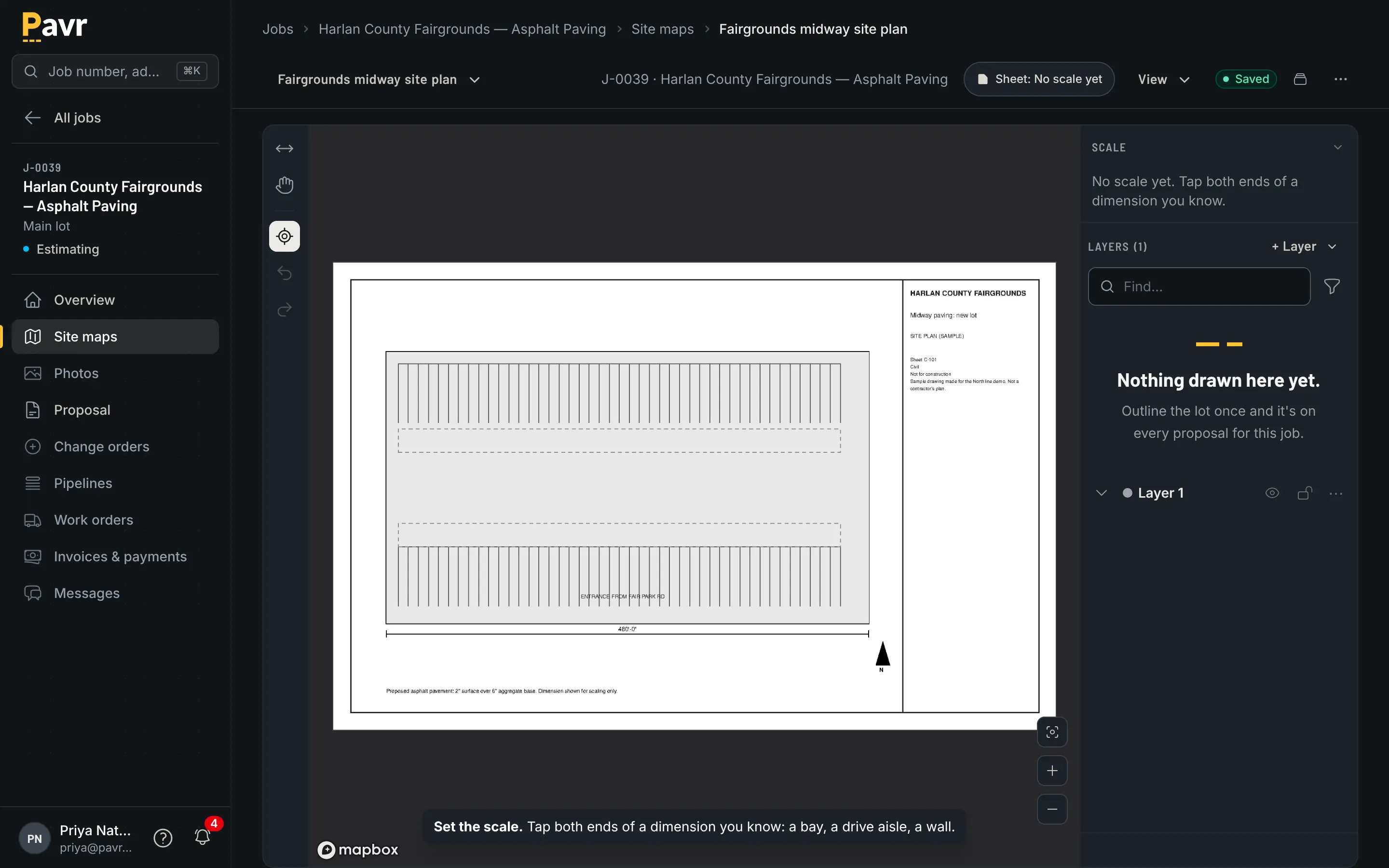
New construction has no satellite view of the lot yet. Upload the plan sheet, mark one known dimension to set the scale, and draw on the drawing. Check the scale against a second dimension before it reaches a proposal. The takeoff comes off the plan the same way it comes off the photo, and it prints on the proposal as the quantity you priced.
From your drone
If you fly your own drone, the satellite view doesn't have to be the last word. Build the map in DroneDeploy, Pix4D Cloud, WebODM, Propeller or DJI Terra, upload it to the site map, or paste its link, and it's there with the other photos, on this job and the next one at this address. Line it up to the lot line and draw on it.
A drone map is as accurate as its ground control, so check one edge with a tape before you price from it. Pavr doesn't fly the drone or build the map; it traces on the map your software made. Fly it right and you price the lot as it is this week, not as it was when the satellite went over.
Photos on the map
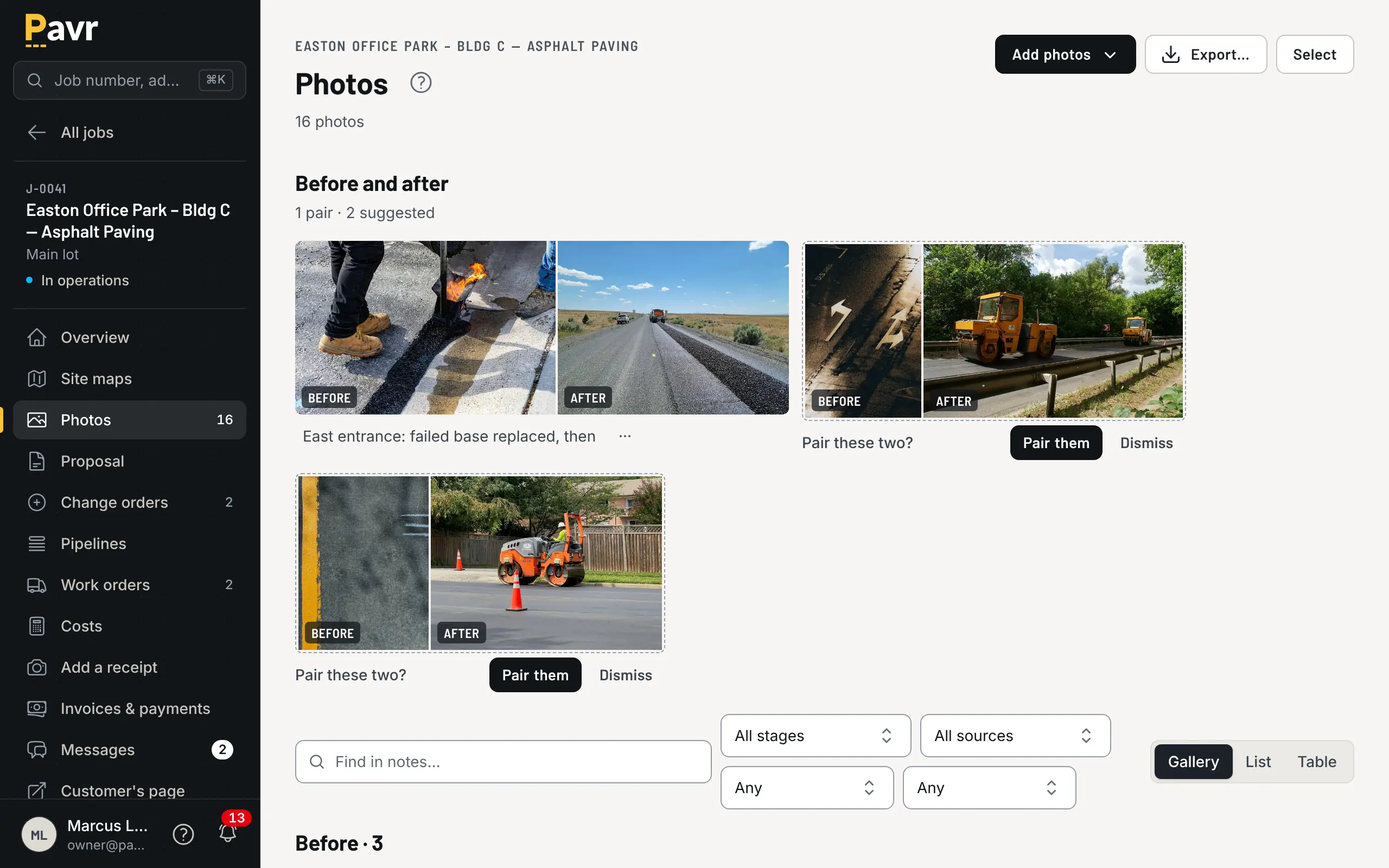
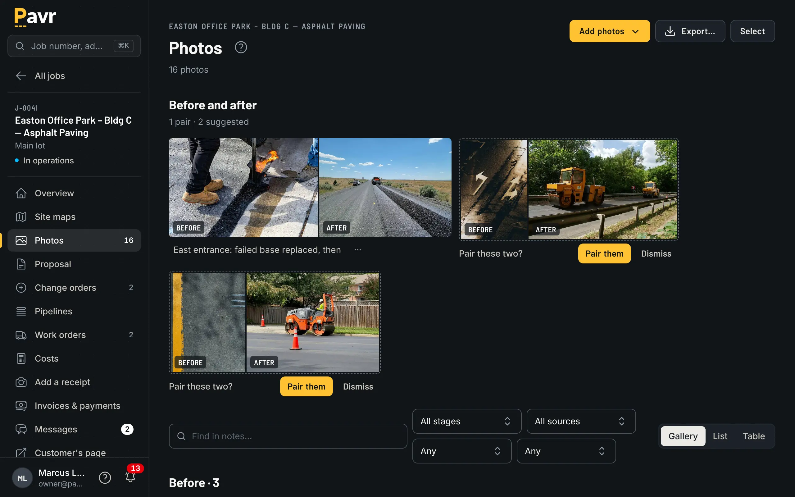
Photos the crew takes from the lot land on the map where they were taken, marked before, during or after. Open one to mark it up with an arrow, a measurement or a note, for the team or for the customer. The photo itself is never changed.
What it isn't
It's not a survey, and it doesn't replace the wheel on a lot with soft base or a grade problem. It gets you a real number tonight instead of a guess, and a proposal in the customer's inbox before the competition has driven out.